Content
Aerial photogrammetric survey aimed at determining soil erosion on existing trails and identifying unofficial paths due to trampling.
Classification
Key characteristics
Tool description
Constraints
- Legal and administrative restrictions on drone flights in protected areas.
- Weather dependency (wind, rain, low light conditions).
- Limited effectiveness under dense canopy cover.
- Need for ground control points to achieve high positional accuracy.
- Data processing can be time-consuming and computationally demanding.
Requirements
- Licensed drone pilot and authorization from authorities
- UAS platform with sufficient spatial resolution and flight stability
- Ground control points or RTK positioning for accurate georeferencing
- Photogrammetric processing software and trained personnel
- Data storage and backup capacity for large datasets
Tool Impact
Best Practices
-
Within the Interreg CE project HUMANITA, UAV-based photogrammetry was applied to document and monitor erosion processes in selected pilot areas. At the Kamenjak pilot site, the University of Parma implemented a monitoring program to detect the formation of informal (wild) trails and soil fragmentation in protected dry grasslands. Repeated UAV surveys will enable the identification and spatial documentation of emerging paths and progressive surface degradation. The generated orthophotos and 3D surface models provide a detailed basis for assessing the development and expansion of wild trails over time, supporting targeted management interventions and conservation planning.
Helpful hints to use the tool proficiently
- It is strongly advised to create a flight plan for the area of interest, in order to use it for multiple surveys in the same area to ensure consistent data acquisition across monitoring campaigns.
- Depending on the specific objective of the monitoring activity, the flight altitude can be adapted to survey wide areas (more indicated for heavy erosion processes and trampling detection) or focused on a linear trail.
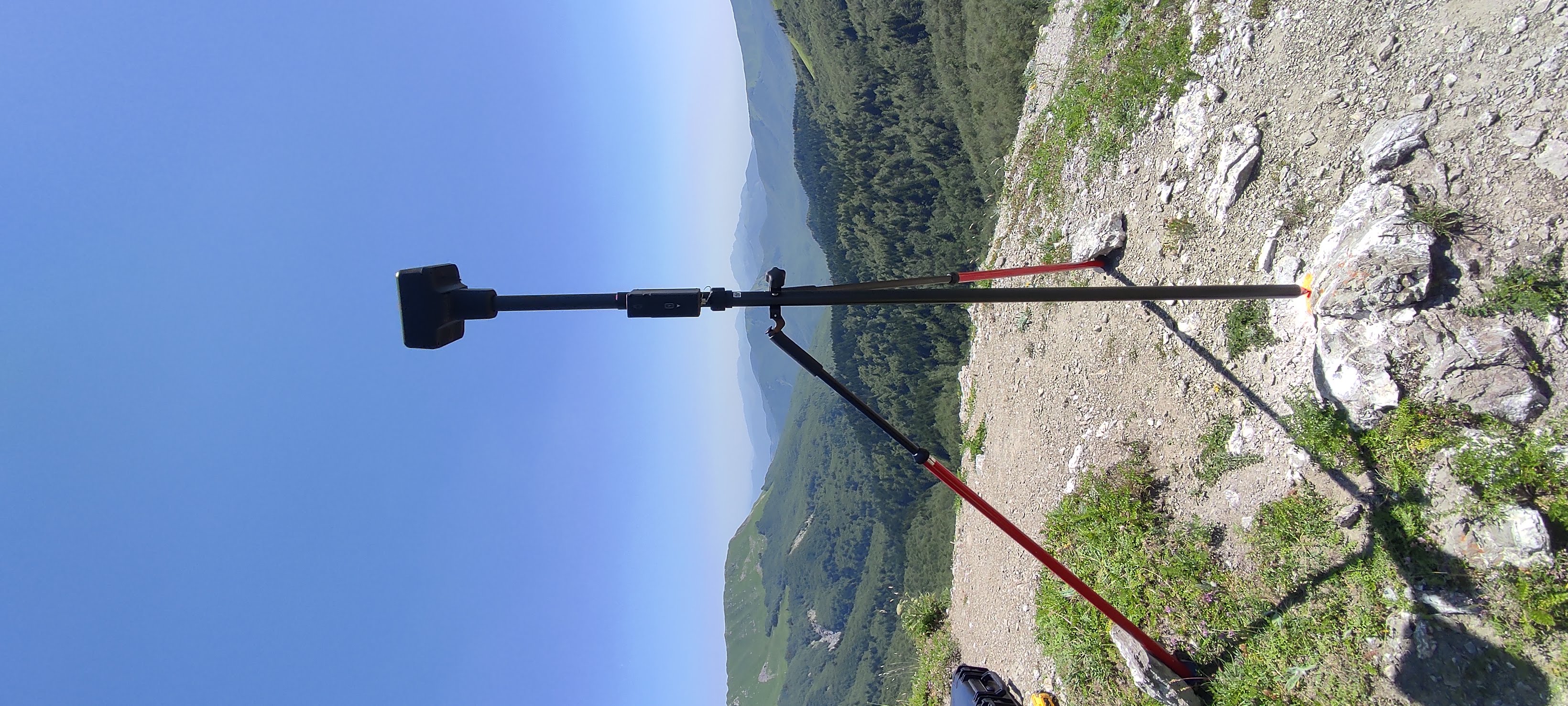
- If high accuracy is required, consider the integration of a GNSS receiver on the UAS, and the use of a RTK antenna to improve the survey reliability.
- If the area of interest is densely vegetated (e.g., survey of a trail under trees canopy), verify the presence of proximity sensors on the UAS and set them accordingly to avoid crashes when flying through narrow paths.
Specification
| Category | Device / Key |
| Properties |
Sensor
Small/light
|
| Range |
airborne
medium range (several km)
local
|
Linked tools
| Category | Tool title and description |
Study object
|
Study focus
|
Work step
|
Tool purpose
|
Classic | Professional | Free to use | Experimental |
|
Backpack 360° panoramic camera for erosion monitoring
Mobile ground-based spherical imaging performed with a 360° photogrammetric sensor carried by an operator along a selected trail to map the terrain. |
|
|
|||||||
|
Backpack LiDAR scanner for erosion monitoring
Mobile ground-based LiDAR system for high-resolution 3D mapping of terrain and small-scale surface changes. |
|
|
|||||||
|
UAV-based LiDAR scanning for erosion monitoring
UAV-based LiDAR scanning for erosion monitoring enables detailed, high-resolution mapping of terrain changes over time. It allows accurate detection and quantification of erosion processes across large areas without the need for extensive field surveys. |
|
|
|||||||
|
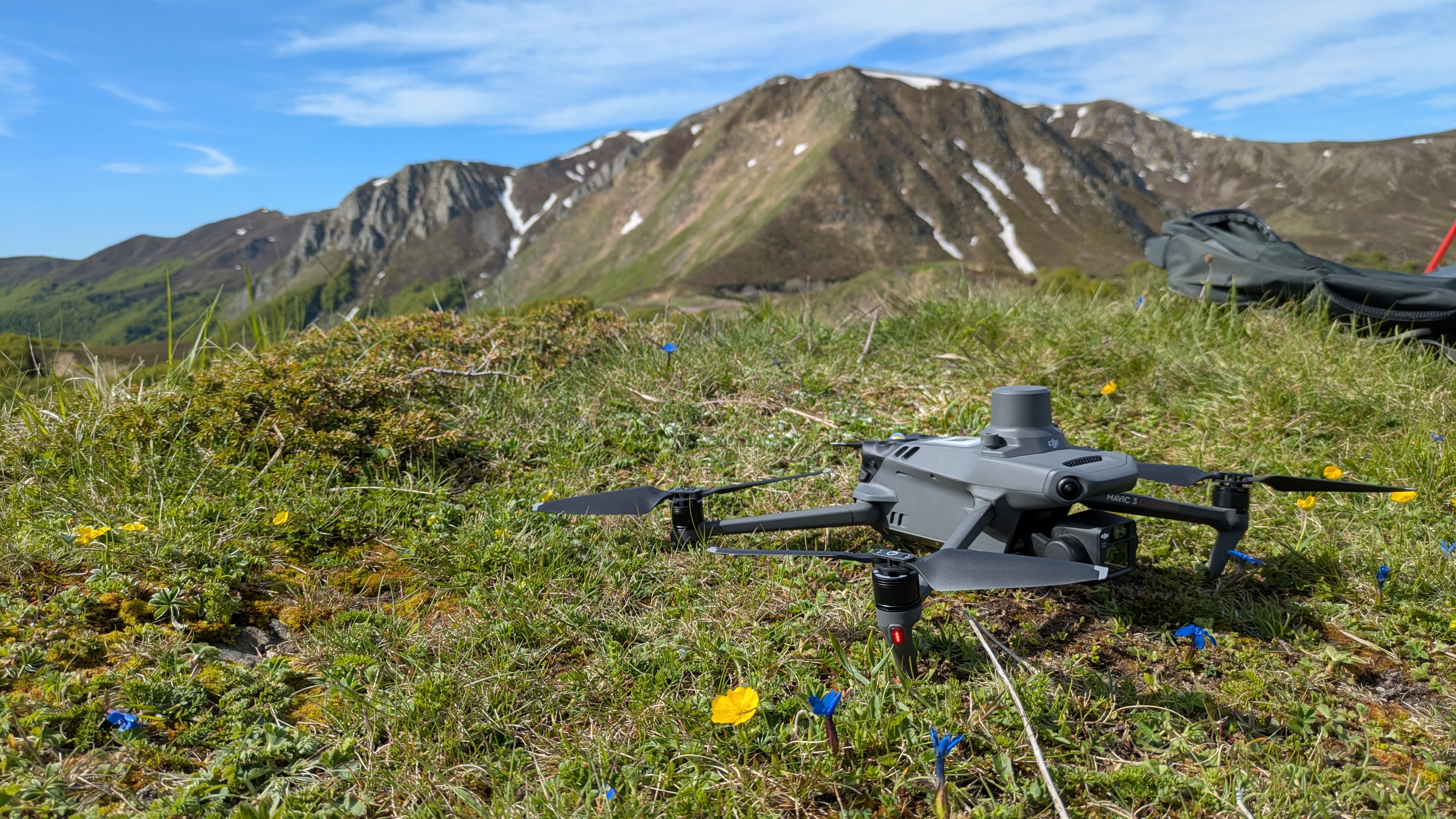
Unmanned aerial system (UAS)
UAS are flying devices that carry different camera or sensor types for aerial photographs and atmospheric measurements. |
|
|
Gallery
Images