Content
Mobile ground-based LiDAR system for high-resolution 3D mapping of terrain and small-scale surface changes.
Classification
Key characteristics
Tool description
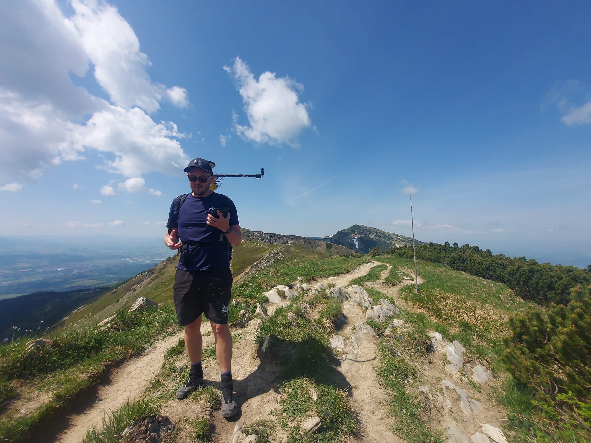
Backpack LiDAR technology is a mobile, ground-based remote sensing system designed for high-resolution mapping of terrain and surface features. The system integrates a LiDAR sensor with Global Navigation Satellite System (GNSS) positioning and an inertial measurement unit (IMU), all mounted in a lightweight backpack configuration that can be carried by a single operator.
As the operator walks through the area of interest, the system continuously collects three-dimensional point cloud data, capturing detailed terrain morphology, micro-topography, and vegetation structure. The integration of GNSS and IMU enables spatial referencing of the collected data, producing georeferenced 3D models suitable for further analysis.
Backpack LiDAR is particularly suitable for monitoring erosion processes, trail degradation, soil surface changes, and other small-scale geomorphological features in areas that are difficult to access or where airborne surveys (e.g., UAV-based LiDAR) are restricted or impractical.
Constraints
- Data quality depends strongly on GNSS signal availability, which may be reduced in dense forests, narrow valleys, or steep terrain.
- Coverage is limited to areas accessible on foot.
- Surveying large areas is time-consuming and labor-intensive.
- Operator walking speed and movement patterns influence point density and consistency.
- Lower sensor position above ground reduces spatial extent per survey pass.
- Post-processing requires specialized software and technical expertise.
- Equipment costs are relatively high compared to simpler field-based erosion monitoring methods.
- Weather conditions (rain, snow, extreme temperatures) may affect performance and data quality
Requirements
- Portable LiDAR system integrated with GNSS and IMU.
- Reliable GNSS correction services to ensure spatial accuracy.
- Sufficient battery capacity for planned field surveys.
- Trained personnel for system operation and survey route planning.
- Specialized software and adequate computing capacity for point cloud processing, calibration, and analysis.
- Regular system maintenance and sensor calibration.
- Careful planning of survey timing and environmental conditions.
Tool Impact
Backpack LiDAR technology has a low environmental impact, as it is operated manually on foot and does not require heavy machinery, permanent installations, or infrastructure. The method is non-invasive and does not disturb soil or vegetation directly. Minor impacts may occur due to trampling during repeated surveys, particularly along sensitive trail sections. When integrated into existing paths or erosion-affected areas, environmental disturbance remains minimal while providing highly detailed spatial data.
Best Practices
-
Within the Interreg CE project HUMANITA, erosion monitoring in Malá Fatra National Park (Slovakia) primarily relied on repeated UAV-LiDAR acquisitions to improve understanding of digital elevation model (DEM) uncertainties and to capture terrain morphology along selected hiking trails before and after the tourist season. Measurements were conducted twice annually to detect seasonal changes.
Backpack LiDAR technology was tested once as a complementary method. Due to the low positioning of the LiDAR sensor above ground level, the spatial extent of acquired data was limited. The dataset proved insufficient for comprehensive post-processing and large-scale analysis in this case.
However, the method demonstrated potential for targeted, small-scale surveys in locations where UAV-based data acquisition is restricted (e.g., dense canopy cover, flight limitations, or legal constraints). It may serve as a supplementary tool for localized terrain assessment.
Helpful hints to use the tool proficiently
- Plan surveys during stable weather conditions to ensure optimal data quality.
- Avoid data acquisition during rain, snow, or extreme temperatures.
- Ensure good GNSS signal availability; check satellite coverage before fieldwork.
- Maintain consistent walking speed to improve point density uniformity.
- Clearly define survey routes to enable repeatability in long-term monitoring.
- Use backpack LiDAR for small, targeted areas rather than large-scale mapping.
- Combine with UAV-LiDAR or photogrammetry for broader spatial context.
- Perform regular calibration and system checks before deployment.
- Allocate sufficient time and computing capacity for post-processing.
- Consider terrain accessibility and operator safety when planning routes in steep mountain areas.
Specification
| Category | Device / Key |
| Properties |
Measurement device
Sensor
Small/light
Can be used in online/live mode
|
| Range |
ground
close range
medium range (several km)
local
multiple scale
|
Linked tools
| Category | Tool title and description |
Study object
|
Study focus
|
Work step
|
Tool purpose
|
Classic | Professional | Free to use | Experimental |
|
Backpack 360° panoramic camera for erosion monitoring
Mobile ground-based spherical imaging performed with a 360° photogrammetric sensor carried by an operator along a selected trail to map the terrain. |
|
|
|||||||
|
Onboard LiDAR sensor
Light Detection And Ranging (LiDAR) sensor to scan the environment. |
|
|
|||||||
|
UAV-based LiDAR scanning for erosion monitoring
UAV-based LiDAR scanning for erosion monitoring enables detailed, high-resolution mapping of terrain changes over time. It allows accurate detection and quantification of erosion processes across large areas without the need for extensive field surveys. |
|
|
|||||||
|
UAV-based photogrammetry for erosion monitoring
Aerial photogrammetric survey aimed at determining soil erosion on existing trails and identifying unofficial paths due to trampling. |
|
|