Content
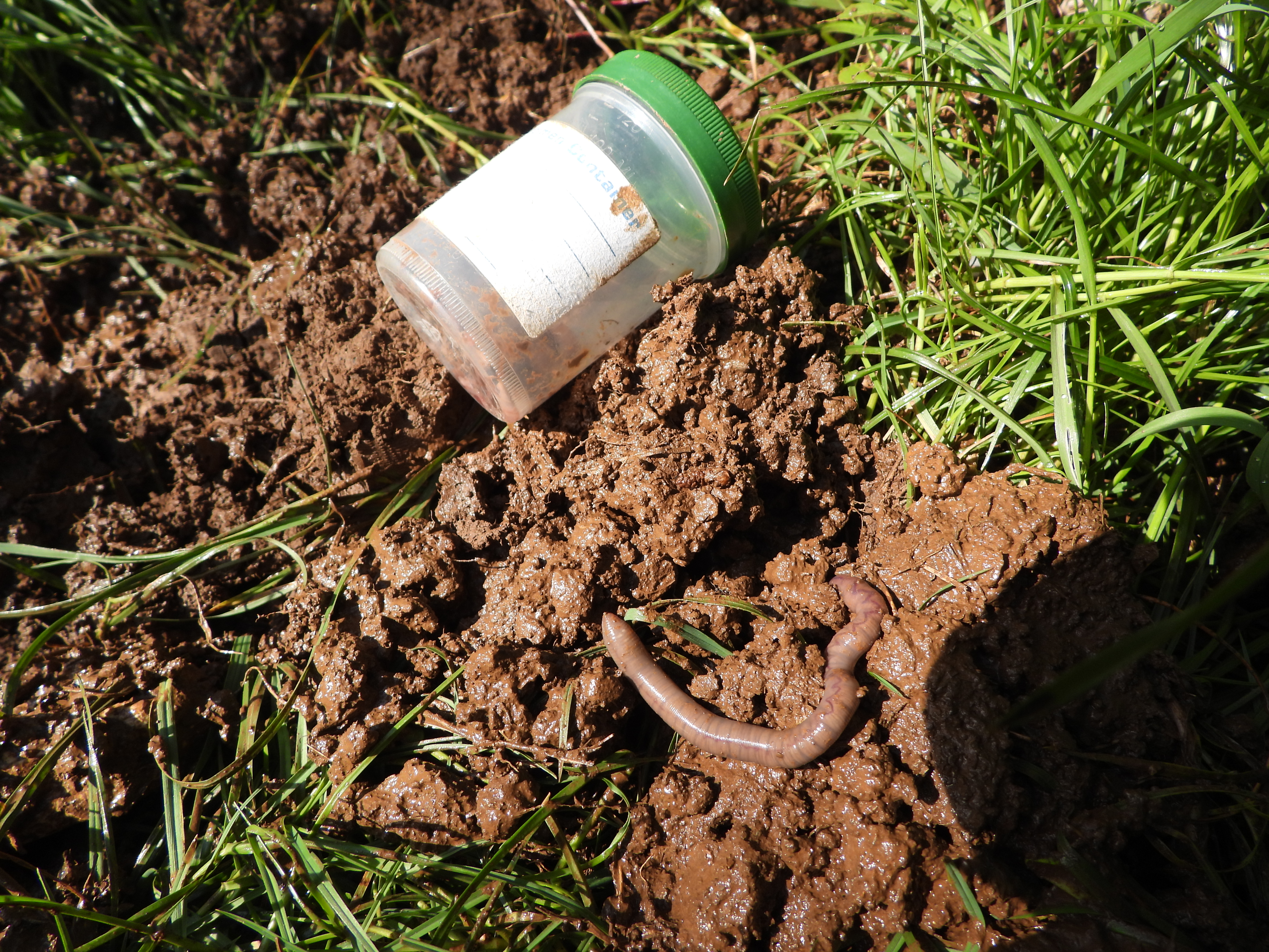
Field sampling of soil at selected areas to better understand pressures and threats of microplastic pollution and its effects on earthworms and their habitats.
Classification
Key characteristics
Tool description
Constraints
- Soil samples represent only specific sampling points and may not reflect conditions across wider areas.
- Microplastic distribution is highly variable, so results may miss fine-scale spatial differences.
- Earthworm presence varies with weather, soil moisture, and time of day, which can affect detection rates.
- In-field species identification may reduce taxonomic accuracy compared to laboratory-based (e.g. genetic) methods.
Requirements
- Soil corers/ soil augers
- Field notebook
- GPS device
- Earthworm sampling equipment (96% ethanol, markers, sterile containers for earthworm samples etc.)
- Soil sampling equipment (gloves, markers, sterile containers or bags etc.)
Tool Impact
Best Practices
-
During HUMANITA project a microplastic and earth worm distribution survey was undertaken in the Significant Landscape of Lower Kamenjak pilot site.
-
Further information on the sampling method can be retrieved under the following references:
Ćaleta, Bruno & Hackenberger, Davorka & Hackenberger, Branimir. (2022). Microplastics in Lumbricus terrestris middens/casts and surrounding urban soil
Scheurer, M., Bigalke, M., & Institute of Geography, University of Bern. (2015). Microplastics in Swiss floodplain soils. Institute of Geography, University of Bern
Specification
| Category | Manual / Guideline / Framework |
| Type |
methodology
|
| Range |
global
|
Linked tools
| Category | Tool title and description |
Study object
|
Study focus
|
Work step
|
Tool purpose
|
Classic | Professional | Free to use | Experimental |
|
Database software (free)
A database is the classic tool for digital storage of large datasets. |
|
|
|||||||
|
Field recording form
Standardized paper form for collecting monitoring data in the field. |
|
|
|||||||
|
GPS device
A GPS is a small device that utilises satellite triangulation for navigation purposes. It can be a hand-held device or attached to an object in the field to gather spatial information. |
|
|
|||||||
|
Linear measurement equipment
Measuring equipment like a tape measure or ruler for measuring short distances (< 100 m). |
|
|
|||||||
|
plot marking material
Tools for highlighting the units being surveyed. |
|
|
|||||||
|
plot sampling
In ecology, plot sampling is a method for density, biomass, cover and frequency estimation of targeted organisms in which plots are selected from within a survey region and sampled. |
|
|
|||||||
|
QGIS
Free and open source GIS software. |
|
|
|||||||
|
Single-lens reflex (SLR) camera
Device for taking digital images in high resolution. |
|
|
|||||||
|
Soil auger/soil corer
A metal tool for extracting soil samples. Many diameters are available. |
|
|
|||||||
|
species identification key
Identification of species based on morphological traits. A standard species identification key is called a dichotomous key where stepwise assessment of unique physical characteristics of a specimen is made by a specialist. Each step leads to finer taxonomic classification. Species identification keys are usually used side-by-side with a collected sample of the plant or animal of interest because the specimen might need to be repositioned to see its unique physical characteristics. |
|
|
|||||||
|
Visual identification
Technique where animals, plants, funghi and lichens are identified in the field by an expert. |
|
|